 The David Rumsey Historical Map Collection has over 14,800 maps online. The collection focuses on rare 18th and 19th century North and South America maps and other cartographic materials.
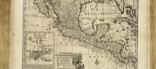
Historic maps of the World, Europe, Asia and Africa are also represented. Collection categories include antique atlas, globe, school geography, maritime chart, state, county, city, pocket, wall, childrens and manuscript maps. The collection can be used to study history, genealogy and family history.
No comments:
Post a Comment